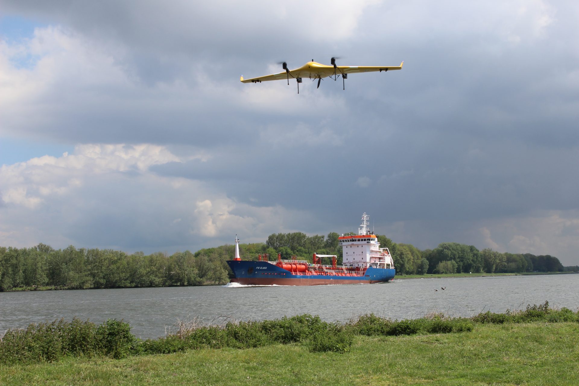
LVNL, ANWB, and KPN to launch drone flights on digital highway in the sky
Experiment to enable manned and unmanned aircraft to fly safely through the same airspace
LVNL (Dutch Air Traffic Control), ANWB, and KPN have joined forces to work towards a common goal – to enable drones and manned aircraft to fly safely through the skies. An experiment with a digital drone corridor will start this year, allowing medical drones to fly between two locations of the Isala hospital in Zwolle and Meppel for the urgent transport of blood, medicines, and diagnostic samples.
Airspace is currently not designed or maintained for BVLOS (Beyond Visual Line of Sight) drone flights. Laws and regulations are also still evolving, and drone users are required to apply for permission well in advance to fly a drone in controlled airspace. The digital highway for drones marks the next step in allowing manned and unmanned aircraft to fly alongside each other safely in Dutch airspace, opening up more space for drone flights in the near future.
Digital corridor
The digital corridor creates space for unmanned drones in a part of the airspace where manned aircraft operate. Drones will also be able to communicate with an unmanned traffic management system (UTM system) during flight, making them more efficient, safer, and able to fly longer distances.
The collaboration partners will spend the next year gaining experience in the use of unmanned aircraft in airspace. This knowledge will pave the way for more widespread use of drones in the future, for example for transporting blood in emergencies and for delivering medicines and other medical supplies faster and more cost-effectively.
First flights
The first flights are scheduled to the skies in the first half of 2023 between two Isala hospital locations. Later in the year, flights will also take place in other locations, for example near Rotterdam, in order to gain experience in the busy airspace near Rotterdam-The Hague Airport. Testing drone flights in two different types of airspace will provide valuable insights into all possible circumstances.
Each of the three partners is making its own contribution to the collaboration, which is supported by the Ministry of Infrastructure and Water Management. As an air traffic control organization, LVNL has the necessary expertise to build the right infrastructure to allow manned and unmanned aircraft to fly safely in the same airspace. The UTM technology required for this will be provided by Altitude Angel. ANWB will operate the medical drones under the name Medical Drone Service. KPN is providing connectivity and digital services; for example, it is providing data for the drone route planner, so that the drone flights can actually go ahead. This includes data exchange, location tracking, and insight into ground and air risks.
Medical Drone Service is a joint initiative of ANWB Medical Air Assistance and PostNL Health. They are working alongside several healthcare partners, including Erasmus MC, Isala, Sanquin, Certe, Resultlab, Amsterdam UMC, St. Antonius hospital, and Accureon. Avy and KPN are also involved as technical partners and are exploring how drones can be used to deliver healthcare to the right place at the right time. Medical Drone Service’s ambition is to contribute to the continued accessibility and availability of healthcare for everyone in the Netherlands. The aim is to use drones to bring healthcare faster and closer to the patient and to connect healthcare facilities, for example by transporting blood, medicines, and diagnostic samples. For these applications, the drone can take the fastest and shortest route through the skies.
Curious what KPN can do for your drone operations? Don't hesitate to contact us.


